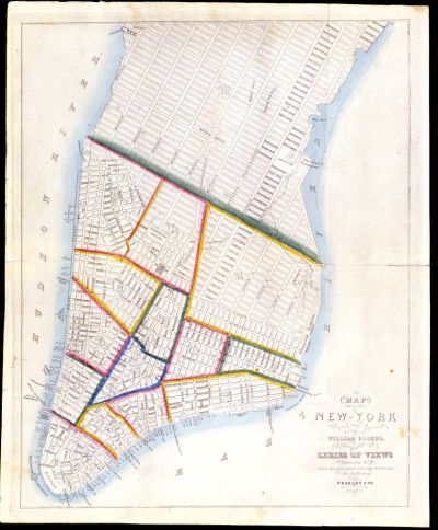
The New York of 1832 was a city clustered on the streets of lower Manhattan. Most roads above 14th Street existed only as projections on paper until a rapidly growing population forced their opening. Developments below 14th Street were products of earlier thrusts northward by citizens who transformed the landscape into the areas we no know as Greenwich Village, Soho, TriBeCa, Chinatown, and the Lower East Side. The different colored sections on the map below denote the city’s wards, or political units.
William Hooker, Map of the City of New York, Compiled and Engraved…Expressly for the Series of Views Illustrating the City of New York and its Environs, Now Publishing (New York: Peabody & Co., [1832]).
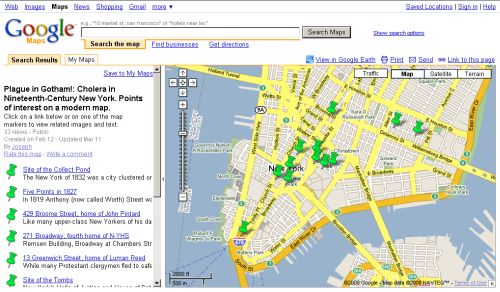
Explore some points of interest to the story of cholera in 19th-century

